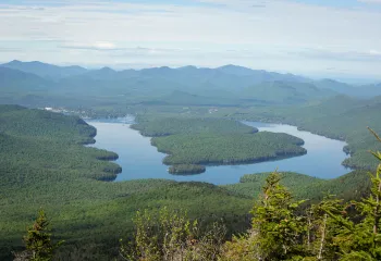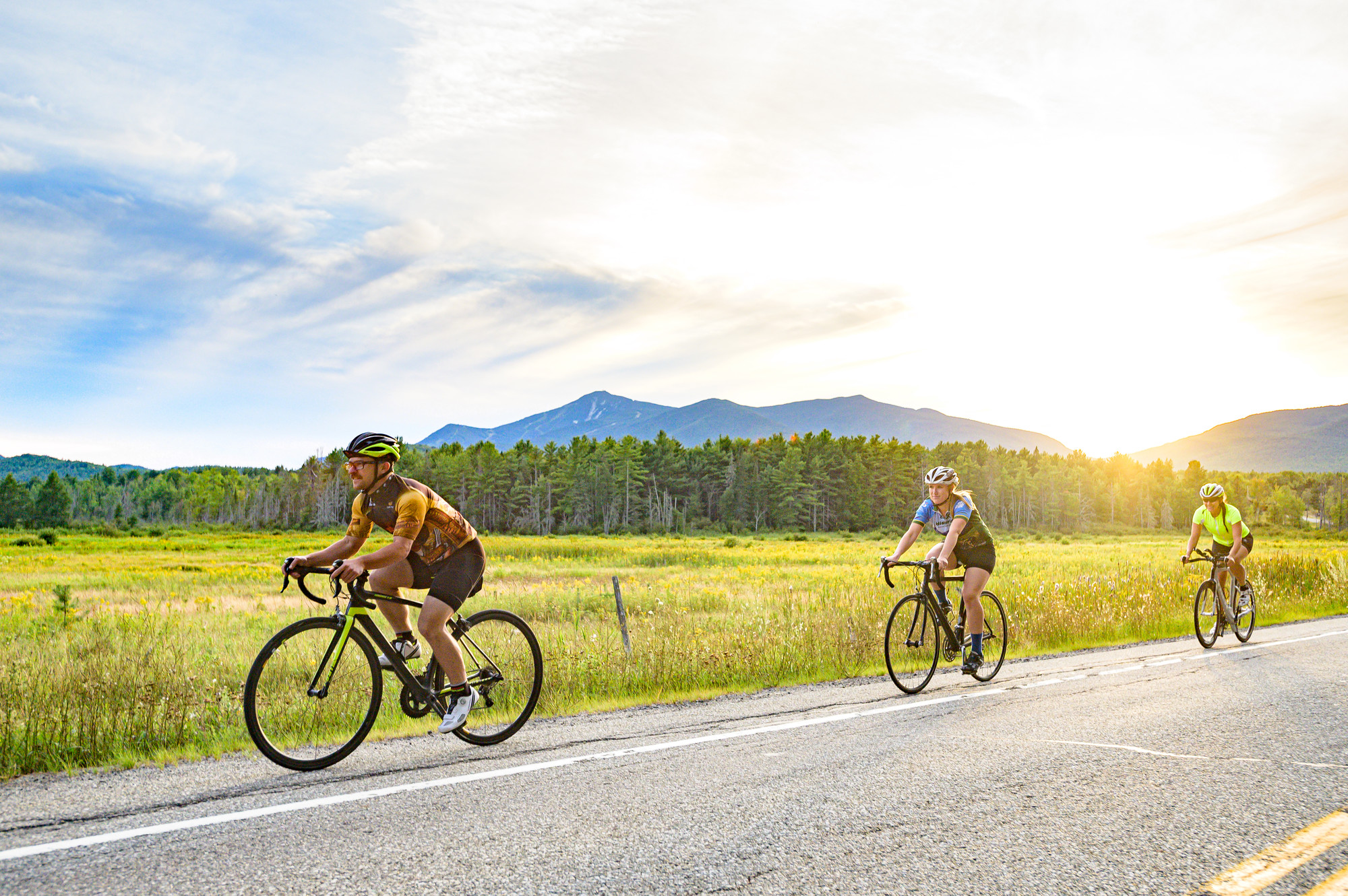
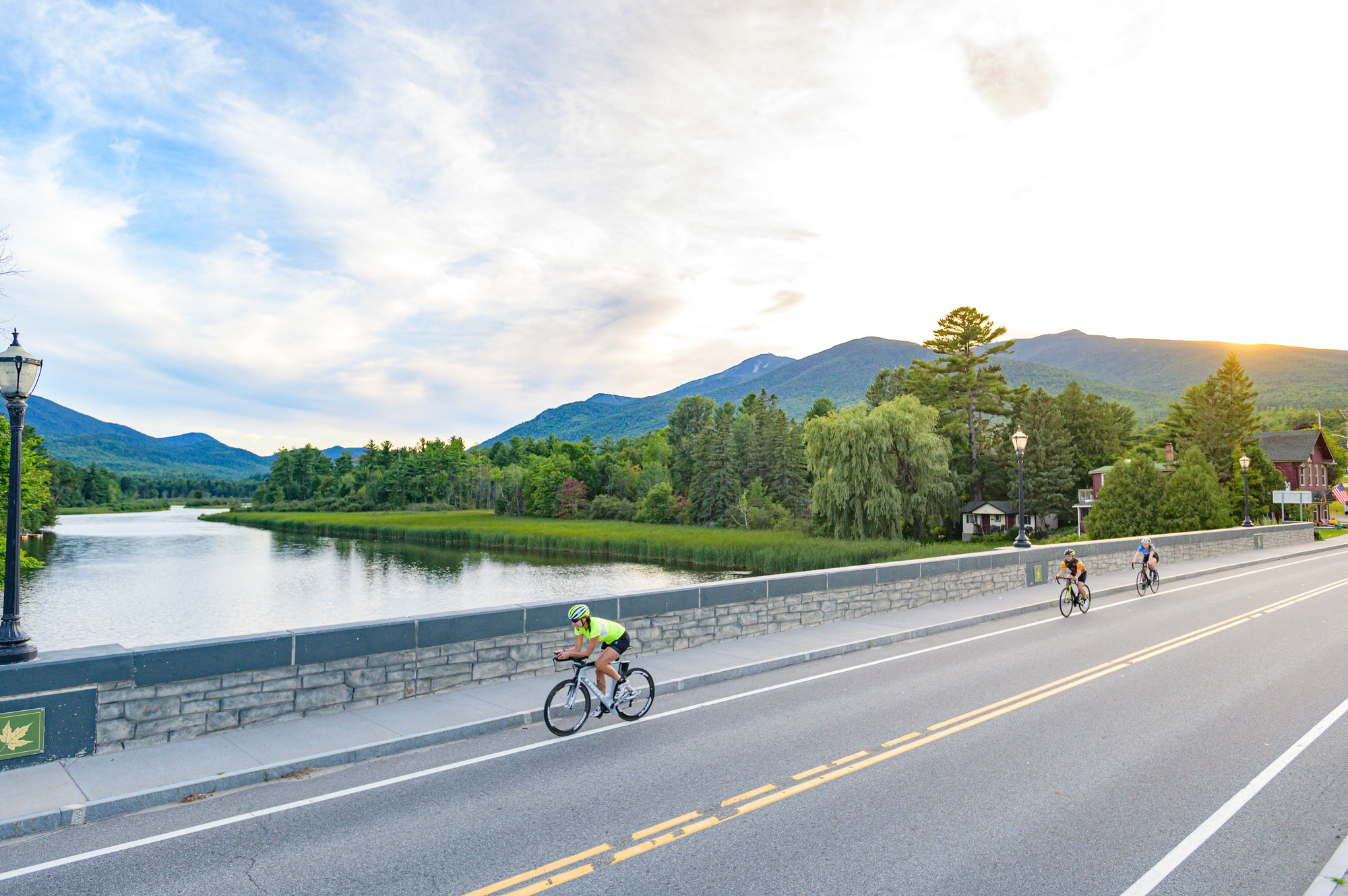
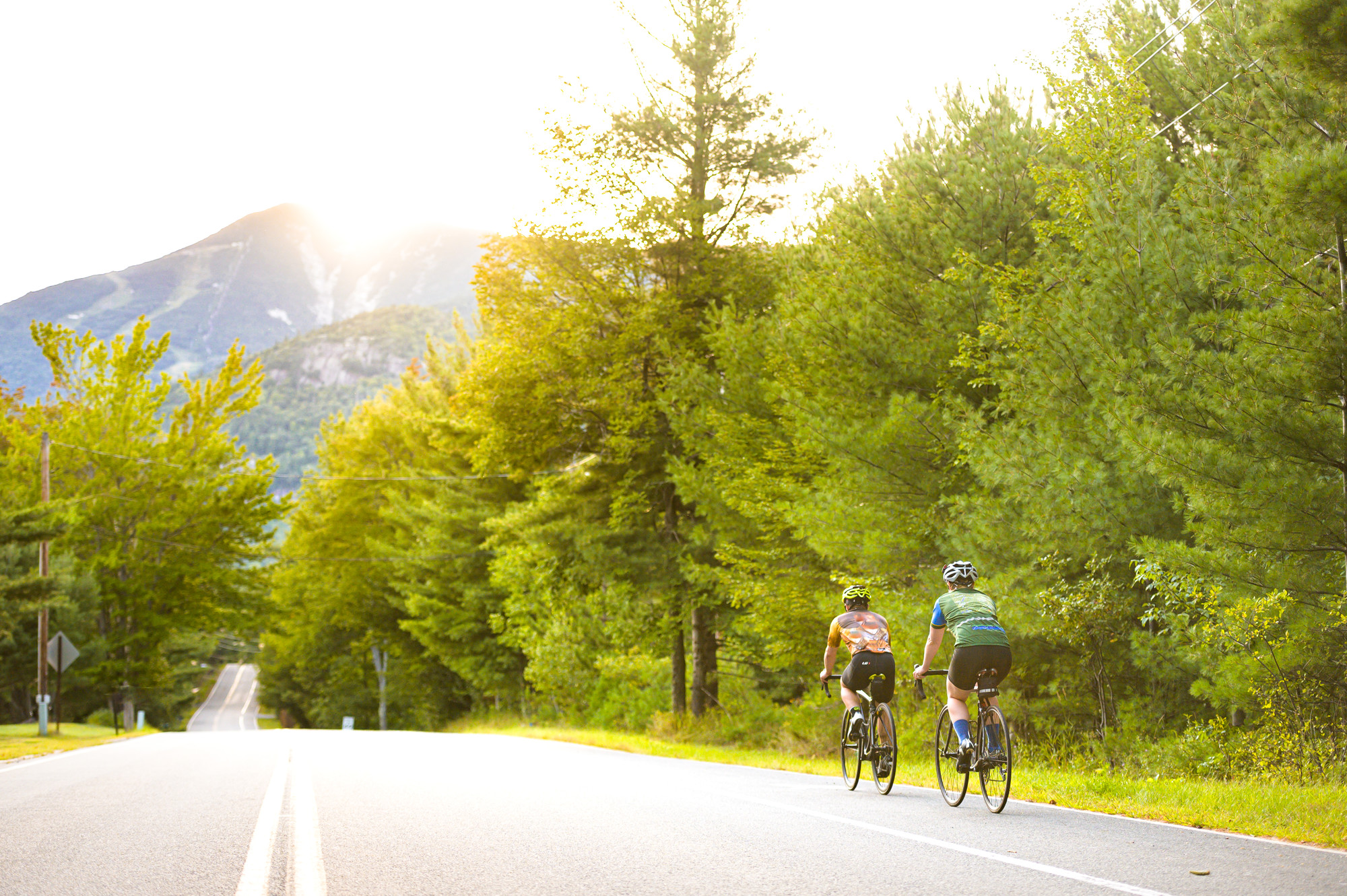
The Lake Placid Ironman is the second oldest Ironman in North America, and one of the sport's most popular courses. The race includes a 2.4-mile swim across beautiful Mirror Lake, followed by a demanding 112-mile bike leg, and culminates with a full marathon through the mountains and ends at the Olympic speed skating oval in the village of Lake Placid. Many athletes travel to the Adirondacks to train weeks before the race. What many people don't realize, is the town of Wilmington and the larger Whiteface Region have more cycling to offer beyond the traditional 56-mile Ironman Loop. Here are a couple of routes to check out.
Black Brook Scenic Loop
- Distance: 14.3 miles
- Parking: Whiteface Mountain Visitors Bureau
- Address: 5753 NY-86, Wilmington NY, 12997
- Bathrooms: Yes
This is a route that is truly away from it all, hence why it's called a scenic loop. The route begins on the aptly named Bonnieview Avenue, which is a quiet, two-lane road. Follow this evergreen corridor for 6 miles until it ends. Then turn right and continue down the long hill towards Black Brook, about 1.5 miles. Turn right again on Haselton/Black Brook Road and hug the Ausable River all the way back to the start. After your ride, grab a bite to eat and enjoy a beer at the Twisted Raven, located just a stone's throw away from the start/finish near Bonnieview Avenue.
Lake Everest Loop
- Distance: 15.7 miles
- Parking: Lake Everest Beach, also known as the Wilmington Town Beach
- Address: Bowman Lane, Wilmington, New York, 12997
- Bathrooms: Yes
This route offers easy riding with big mountain views that starts from a gorgeous beach along the Ausable River. To begin the ride, go straight on Bowman Lane from Lake Everest, then take a left onto Route 86. Look for Flume Falls on your left and stop to marvel at this cascading waterfall. Shortly after that, turn left onto Fox Farm Road, which is also County Highway 12A. Cruise on this road for 1.8 miles, then take a right onto Springfield Road (County Highway 12). This road is quiet, so enjoy the solitude and take everything in. Continue on Springfield Road (County Highway 12) for 3.7 miles, then turn left on Route 9N. Take in the views of the Ausable River on your right-hand side all the way to the intersection.
For a slight detour, take a right on Mill Hill Road/John Fountain Road and check out the Jay Covered Bridge, one of only two covered bridges in the Adirondacks. This wooden covered bridge spans 175 feet over the East Branch Ausable River in Jay. It was constructed in 1857 and completely restored in 2007. If you took the detour to the bridge, head back down Mill Hill Road/John Fountain Road until the intersection. Go straight on Route 86.
If you didn't take the detour, turn left on Route 86. Ride for 6 miles and turn left at the 4-way stop sign to stay on Route 86. Follow Route 86, until you turn left onto Bowman Lane, which brings you back to the beginning of the loop. After your ride, go for a swim in the river or rent a boat on-site at Lake Everest Beach to continue the adventure.
Whiteface Mountain Uphill Ride
- Distance: 16.4 miles
- Parking: Whiteface Mountain Visitors Bureau
- Address: 5753 NY-86, Wilmington NY, 12997
- Bathrooms: Yes
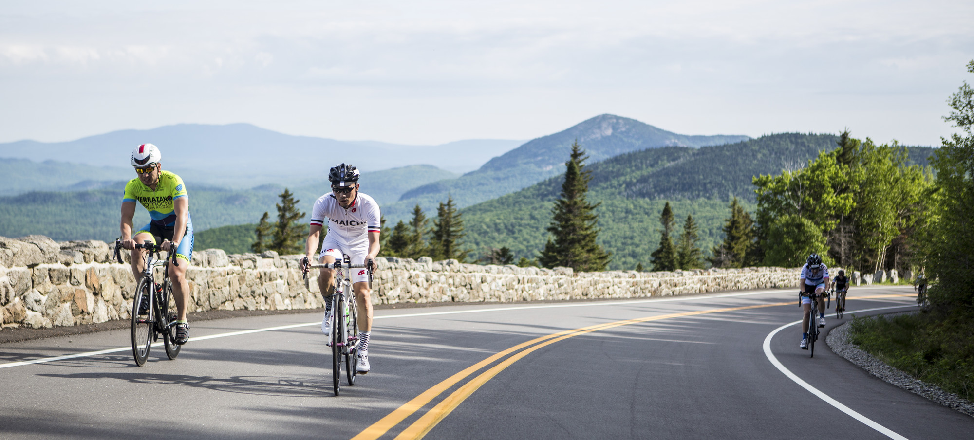
If you like a challenge, then this route is for you. This ride is all uphill and climbs 3,522 vertical feet over the course of 8 miles to the top of Whiteface Mountain, New York's fifth-highest peak. Perhaps most strikingly, the specs are almost identical to southeastern France's Alpe d' Huez, one of the legendary climbs of the Tour de France. Both roads average an 8 percent gradient for their length and both are almost identical in mileage. From base to summit, Whiteface’s Veterans' Memorial Highway measures exactly 8 miles, only a tenth of a mile more than Alpe d’ Huez. All that being said, the Whiteface Memorial Highway climb is a beast of a route, but the reward is worth the effort once you take in the 360-degree panoramic views of Lake Placid lake and the surrounding Adirondack mountains and lakes. On a clear day, you can even see Lake Champlain, Vermont, and Montreal.
This route is a straight shot once you turn right onto Route 86 from the parking lot at the Whiteface Mountain Visitors Bureau. Go straight at the 4-way intersection onto Route 431, also known as the Whiteface Veterans' Memorial Highway. The first 3 miles are the hardest because they are the steepest. But once you pass Santa's Workshop on your right-hand side, you know the worst is behind you. The next checkpoint is the tollbooth, where you will pay a $15 fee to climb the remaining 5.3 miles. If you are worried about paying a toll, remember you didn't have to buy a plane ticket to France to ride a world-class climb.