Submitted by guest blogger Kurt Lindboom-Broberg
If you own a bike (or three, like me), you know that some days are for going fast on a flat ride while others are for casual conversations with friends while taking in the views. Some days are for one of the well-known, comfortable cycling routes while others are for a challenge like climbing a mountain. No matter the day, the ultimate place to ride has a variety of options to choose from: flats, rollers, views to explore, and challenges to take on. The Whiteface Region has all that and more!
I’ve been traveling to Lake Placid, NY for outdoor adventures every year since 2011. When I’m there, if I get on a bike, nine out of ten times I am headed up Route 86 to Wilmington. Not only is this one of my favorite sections of road--with a gentle decline the entire 11 miles winding along the northern branch of the Ausable River with Whiteface Mountain as a backdrop--but it leads to a variety of rides I can choose from that day. As you enter the heart of Wilmington, you’ll be at a four way stop--an intersection of Route 86, Bonnieview Road, and Whiteface Memorial Highway. Each of these roads offers a different type of experience, all equally fun when seeking out different adventures:
1. East - Easy speed on the Southern Ausable River
2. North - Pond exploration loop
3. West - Whiteface climb challenge
4. South – Ausable River Climb to Lake Placid
Easy speed on the Southern Ausable River
If you’re looking for an easy ride or want to really crank the speed, you can ride 5 miles east on Route 86 to Jay. Here, you’ll find Route 9N to both your left and right with about 15 miles of relatively flat road. If you head right, you’ll enjoy 10 miles of flat road with generous road shoulders on your way to Keene. If you head left, you’ll enjoy 5 miles of a slight decline to a flat road all the way to Au Sable Forks, which becomes a slight incline on your way back. Both sections offer an enjoyable winding ride along the southern branch of the Ausable River.
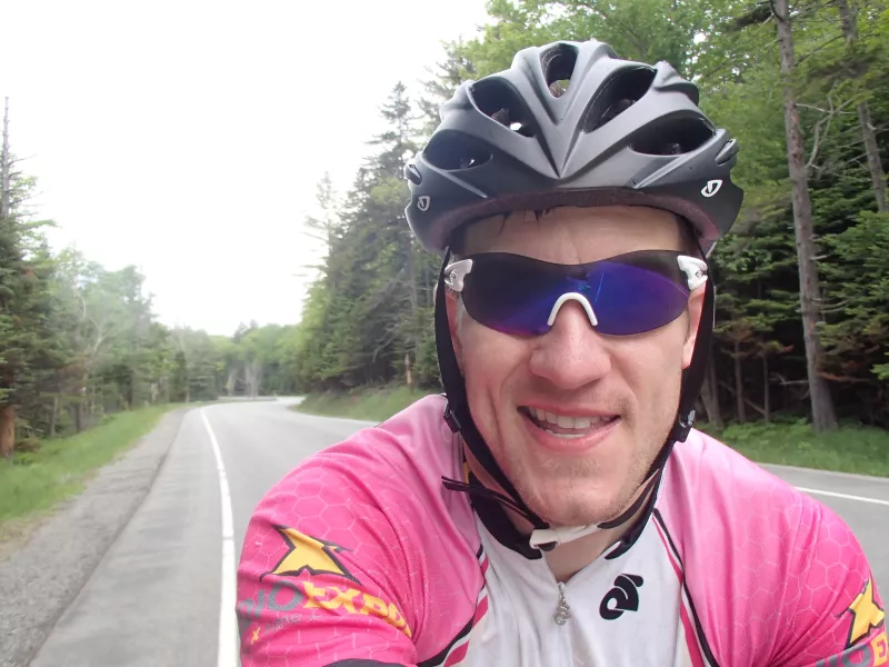
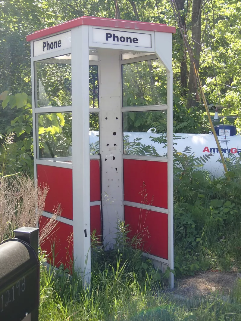
For anyone on a group ride, this is where most of the easy conversation occurs. You can also stop at any of the convenient traffic pull offs for a break to grab a snack, sit in the shade, or dip your feet in the river (or lay in it–-I have!). This is also the best road to crank out some speed. While you’re zipping along 9N, see if Upper Jay still has the red phone booth on the side of the road.
The only downside to this ride is that getting back to Wilmington means riding the five miles back along Route 86, which--I won’t lie--is mostly uphill, though it does have some great views.
Pond exploration loop
If you’re looking to explore, I recommend heading north on Bonnieview Road to do what I’ve called the pond loop. Northwest of Wilmington are four bodies of water: Taylor Pond, Union Falls Pond, Franklin Falls Pond, and Silver Lake. The roads around these bodies are quiet, twisting, and fun.
Head north on Bonnieview Road (19A) to the end and take a left onto Silver Lake Road (1). This is the only major road on this ride, so do be careful here. Shortly after, in East Kilns, you can take a left onto Nelson Road (1A) and be back on comfortable back roads. From here, you can make a counterclockwise loop.
- Left onto Forestdale Road. Follow this through West Kilns and Forestdale. In Forestdale, that road changes to Plank Road and then merges with Franklin Falls Road (48).
- At Franklin Falls, follow Franklin Falls Road to the right.
- Right at the “T” onto Rock Street.
- Follow Rock Street to the end in Alder Brook.
- Right onto Alder Brook Road. In Union Falls, that road changes name to Union Falls Road (4). In Hawkeye, that road merges with Silver Lake Road (1).
- Take Silver Lake Road back to Bonnieview Road (19A) and ride back to Wilmington.
This ride amounts to 45 miles, but I recommend stopping at Franklin Falls and the water views for a break and photo op. If you’re out exploring, there’s no reason not to enjoy the time.
Whiteface climb challenge
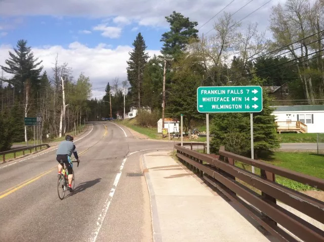
If you’re looking for a challenge and your brakes are in good working order, take a left in Wilmington and head up and up and up Whiteface Veterans Memorial Highway.
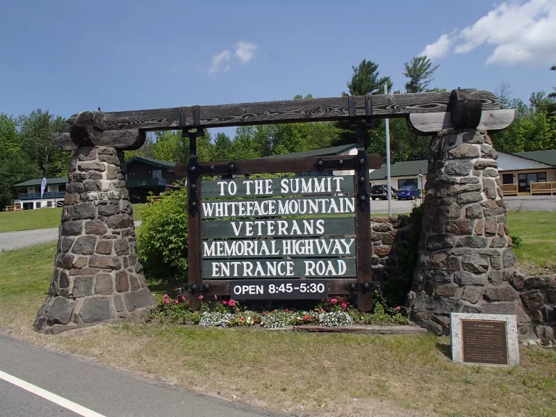
This is by far one of the most challenging and rewarding rides I’ve been on and been able to convince other poor souls to tackle with me. The ride from Wilmington is 8 miles at an average 8% incline, but offers the best views of the Adirondacks you will see on two wheels.
The first few miles are the worst of the entire climb with no chance for a break. However, you ride through the hamlet of North Pole, NY with Santa’s Workshop, which is a hilariously ironic icon on a hot summer day.

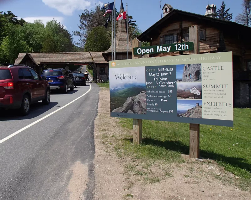
Once the road breaks (flattens out a little), you hit the toll house. Be sure to have some cash on hand ($15 for a bicycle as of May 2021) to pass through.
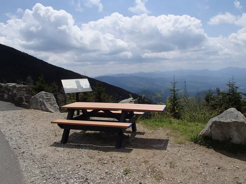
From here, the road climbs up in sections with minor breaks in the climb. Most breaks have vehicle pull offs and picnic tables--spots to rest, grab a drink or snack, snap some photos (if it’s your first time, this is required!), and regroup mentally. As you climb, you’ll notice the temperature decreasing as well. On many rides, I have found it chilly at the top while overly hot at the bottom. You can check the weather forecast at the summit by clicking on the "Daily Conditions" tab at the top of the Whiteface Veterans' Memorial Highway website.
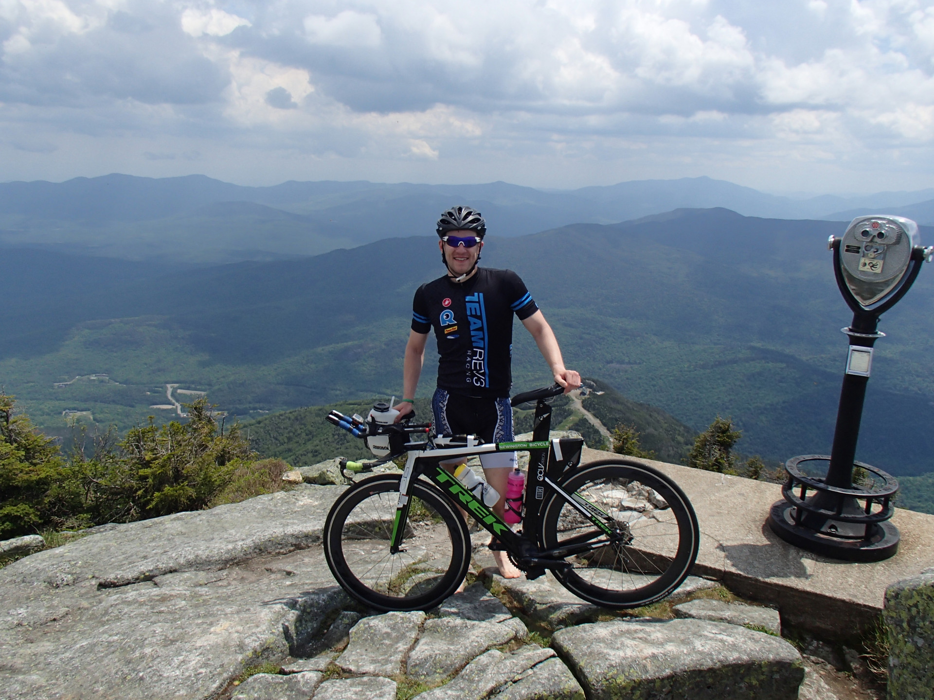
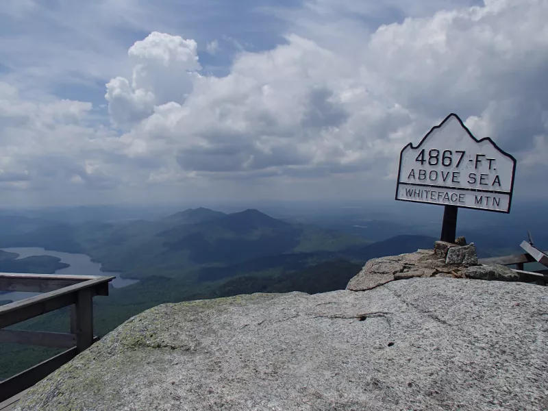
Finally, at the top, you have the best views on two wheels in the Adirondacks. Take your time snapping photos, eating a snack, and enjoying your accomplishment. You may also notice both an elevator and stairs climbing to a lookout. Bicycles are not allowed in the elevator (because you know people have tried it), so if you want to climb higher, you can leave your bike or carry it with you. I’ve done the latter, but I don’t necessarily recommend climbing the rock/stairs barefoot. It does, however, offer a great photo to take home.
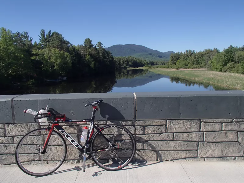
When you’re ready to head down, be sure to test your brakes first. The 8-mile ride down Whiteface can quickly turn into a dangerous situation if you can’t control your speed. When you are in control, it is a fun and potentially very fast route back to Wilmington. Once at the bottom, I highly recommend stopping into Adirondack Chocolates for a well-deserved sweet snack. Sit on the bench outside facing Whiteface and marvel at your accomplishment. Or if you’re crazy enough, use it to refuel for a second trip. Remember that your paid toll allows you as many trips in twenty-four hours as you’d like to make.
Ausable River climb to Lake Placid
The final direction out of Wilmington, NY is to head down Route 86 to Lake Placid. If you previously rode from Lake Placid, then this gets you home. This 11-mile section winds along the northern branch of the Ausable River as you climb the rolling hills. You’ll see green all around you, sections of river with people fly fishing, beaver dams, a waterfall, inviting pools of quiet river where plenty of people stop to cool off, and a simply wonderfully quintessential ride through the Adirondacks. The best part if you’re staying in Wilmington is that you get to turn around and head back north, net downhill back to home base with the backdrop of Whiteface Mountain.
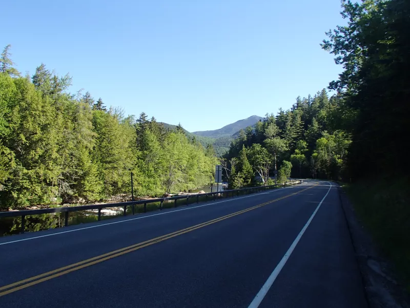
No matter the type of road ride you’re looking for, Wilmington, NY has a route to offer. And if you need a non-cycling day, the Adirondacks offers just about anything else you can imagine – rock climbing, kayaking, hiking, boating, golf (putt-putt or the real thing), or just a relaxing day in a hammock.
About the Author
Kurt is an endurance athlete and coach who was first introduced to the Lake Placid, NY area in 2011. Over the past ten years, he has returned to the area at least fifteen times, both in summer and winter, to swim, bike, run, hike, biathlon, and mentally refresh in the peace and beauty of the Adirondacks. He plans to return again this summer to keep exploring new roads and will always stop for chocolate!


