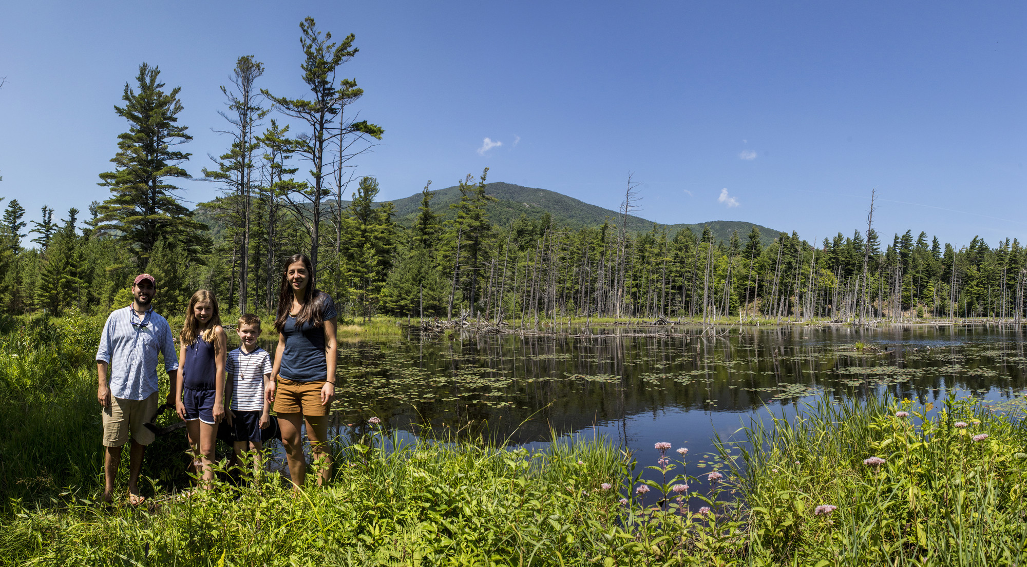
As soon as the temperature rises above freezing in the Adirondacks, it feels like it’s time to break out the shorts. Our winters are wonderful but they are also long, so it’s not surprising people head for the trails as soon as the snow starts melting.
Gear up
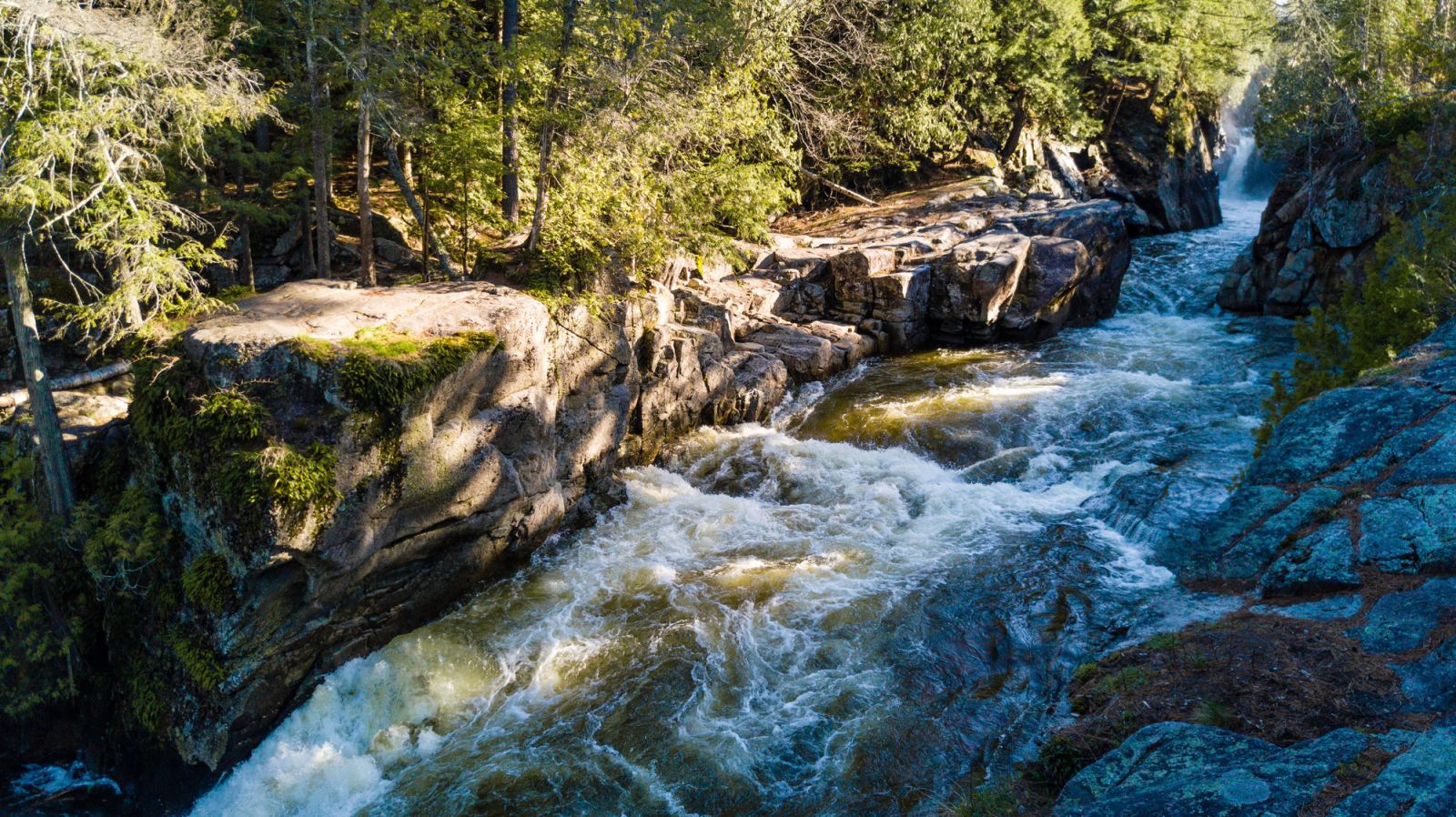
Spring hiking in the Adirondacks isn’t all bright wildflowers and budding trees. Streams swell from the snowmelt making them fast, cold, and difficult to cross. Lower elevations tend to be quite muddy, while shady areas and higher elevations still have snow and ice. Snow spikes are a must for hiking this time of year and so are extra layers — warm days can turn chilly fast in the mountains, especially in spring.
Speaking of mountains, keep in mind that the Department of Environmental Conservation asks hikers to avoid trails above 3,000 feet in elevation until they’re dry. That’s good advice because muddy trails are more difficult to hike on, and they’re more vulnerable to damage done by hikers’ boots. Once those trails are hard and dry, they’re ready for action!
Here are four of our favorite spring hikes in the Whiteface Region, in order from least to most difficult.
Flume Trails
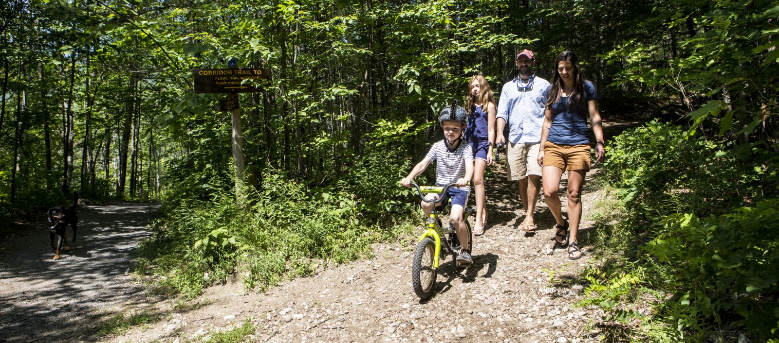
Depending on your destination, the Flume Trails could be at the beginning or near the end of this list. Our suggested go-to spot is the beaver pond that’s just a short ramble from the parking area. You’ll walk along a wide, level trail that overlooks a particularly wild, rocky stretch of the Ausable River before coming to a “Y” intersection. Right goes uphill to more challenging terrain (check the map at the kiosk to learn more) while right goes gently down to the pond. This is a magnificent spot that puts you right behind the dam. If you visit after the ice has melted, stick around until dusk — this is the place to be if you want to watch beavers in action.
Trailhead: The trailhead is about 2 miles south of the Wilmington village center on Route 86
Silver Lake Bog
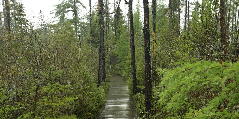
Silver Lake Bog is mysterious, lush, and absolutely stunning in the spring, and thanks to the long wooden boardwalk that cuts through it, it’s super easy to get an up-close look at an otherwise difficult-to-access ecosystem. Depending on when you visit, you could see an array of birds and wildflowers. Look out for trout lilies and spring beauties along the walkway, and keep an eye peeled for pitcher plants. As the name implies, they are pitcher-shaped plants that grow in dense little clusters along the sphagnum mat. What you might not realize is they are carnivorous! Enzymes secreted by the plant lure insects to the little pool at the bottom of the pitcher, where the insect is trapped and slowly digested. It’s pretty brutal, but a plant’s gotta do what a plant’s gotta do.
At the end of the boardwalk there is a trail that ascends to a lookout above the lake. It’s worth the walk if you feel like you’re up to the challenge.
Trailhead: From the four-way intersection in Wilmington, continue onto Bonnieview Road and follow it to its end at the intersection with Silver Lake Road (County Route 17). Turn left toward Silver Lake and continue for about 7 miles, then turn left on Union Falls Road and follow it for just over a mile. Turn left on Old Hawkeye Road and follow it for just under a mile to the trailhead on the right.
Cobble Lookout
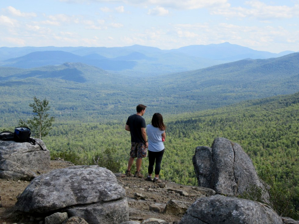
Not to be confused with Cobble Hill in Lake PLacid, Cobble Lookout used to be a well-kept local secret until it got the official trail treatment several years ago. Now it’s one of the easiest hikes with a killer view in the region. You won’t have trouble finding the trailhead thanks to the humongous wooden DEC sign, and the trail is a breeze to follow, in part thanks to how well marked it is and in part because it’s so well traveled. Somehow the path manages to climb without ever getting steep, and the next thing you know you’re overlooking the Ausable Valley. The Jay Range, which is an incredible hike once the trails are dry, is straight ahead, and the impressive mass of Whiteface Mountain rises from the direction the trail leaves the woods.
Trailhead: From the four corners in Wilmington, take Route 431 for 3 miles. At the three-way intersection with the Whiteface Memorial Highway, bear right on Gillespie Drive (county Route 18A on some maps). Continue for 0.3 mile to the trailhead and parking area on the right, just past Lake Stevens.
Cooper Kiln Pond
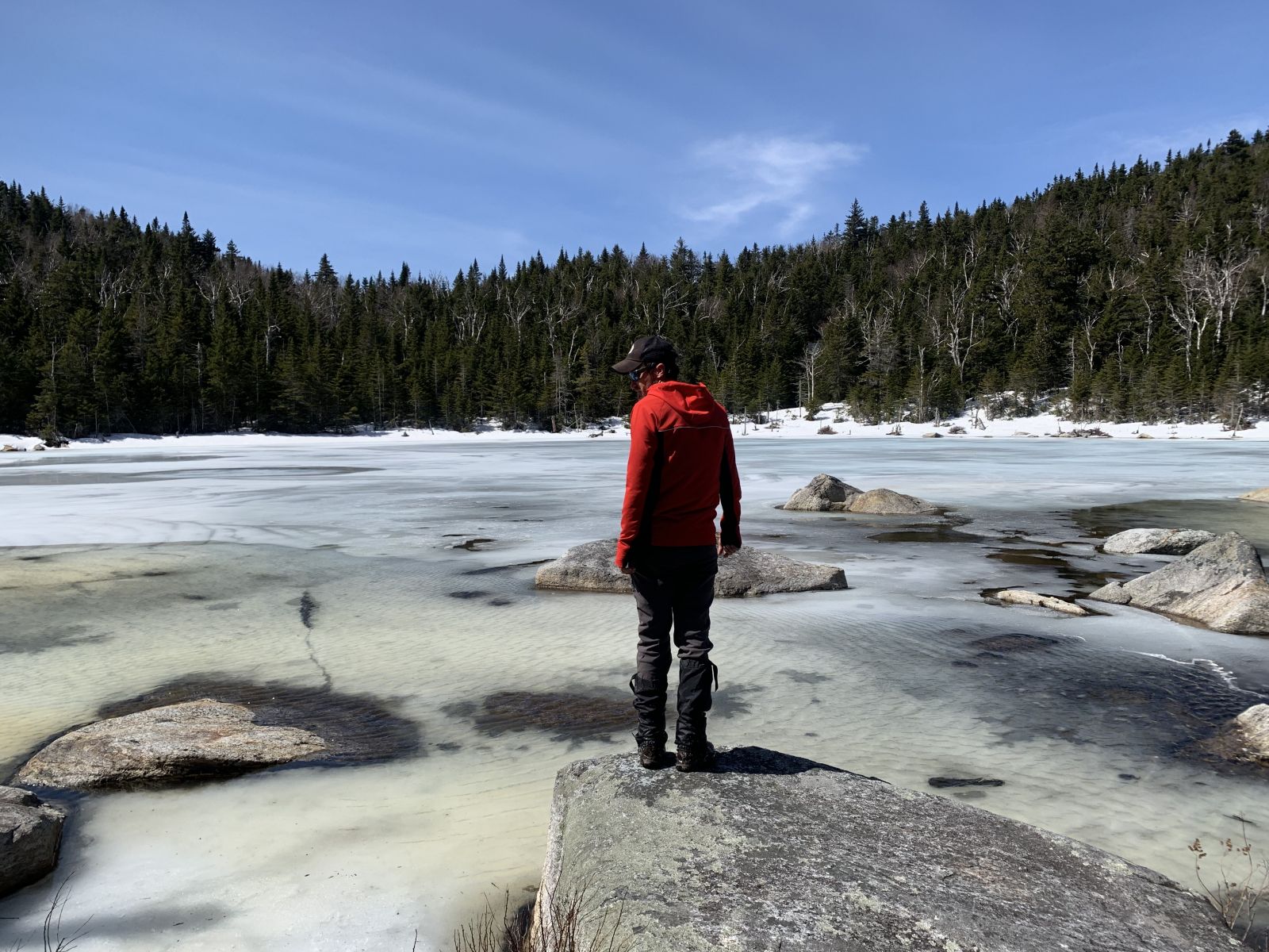
Cooper Kiln is a pleasant, if not somewhat long, hike to a rugged little pond in the mountains. There are two ways to approach it, and both are similar in terms of difficult. From Franklin Falls Road, it’s a long, steady climb up a stream bed and there is a section where the drop-off is quite steep on one side. The Bonnieview Road approach is a little less dramatic but it’s also a long, steady climb up a trail that is wide at the outset and steeper and narrower toward the finish. One nice feature is the slide — at the spot where the trail makes a hard left, look through the trees up and to the right to see it.
Whichever way you go the pond, with its lean-to and boulder-dotted surface, is a scenic place to have lunch.
Trailhead: To approach Cooper Kiln from Bonnieview Road, take Route 86 from the entrance to Whiteface Mountain Ski Center and continue straight at the four-way intersection. The trailhead is about 4 miles up on the left, immediately after the right-hand turn for John Bliss Road.
To get to the other trailhead, follow the above directions and turn left at the four-way intersection, heading up toward the Whiteface Veterans Memorial Highway toll booth. Turn right onto Franklin Falls Road after about 3 miles, just before the booth. The trailhead is on the right in 0.7 mile.
Make a weekend out of your spring hiking trip to the Whiteface Region.
This week in ADK news:
Finding the Perfect Balance in Lake Placid
Experience the Ticonderoga Area
