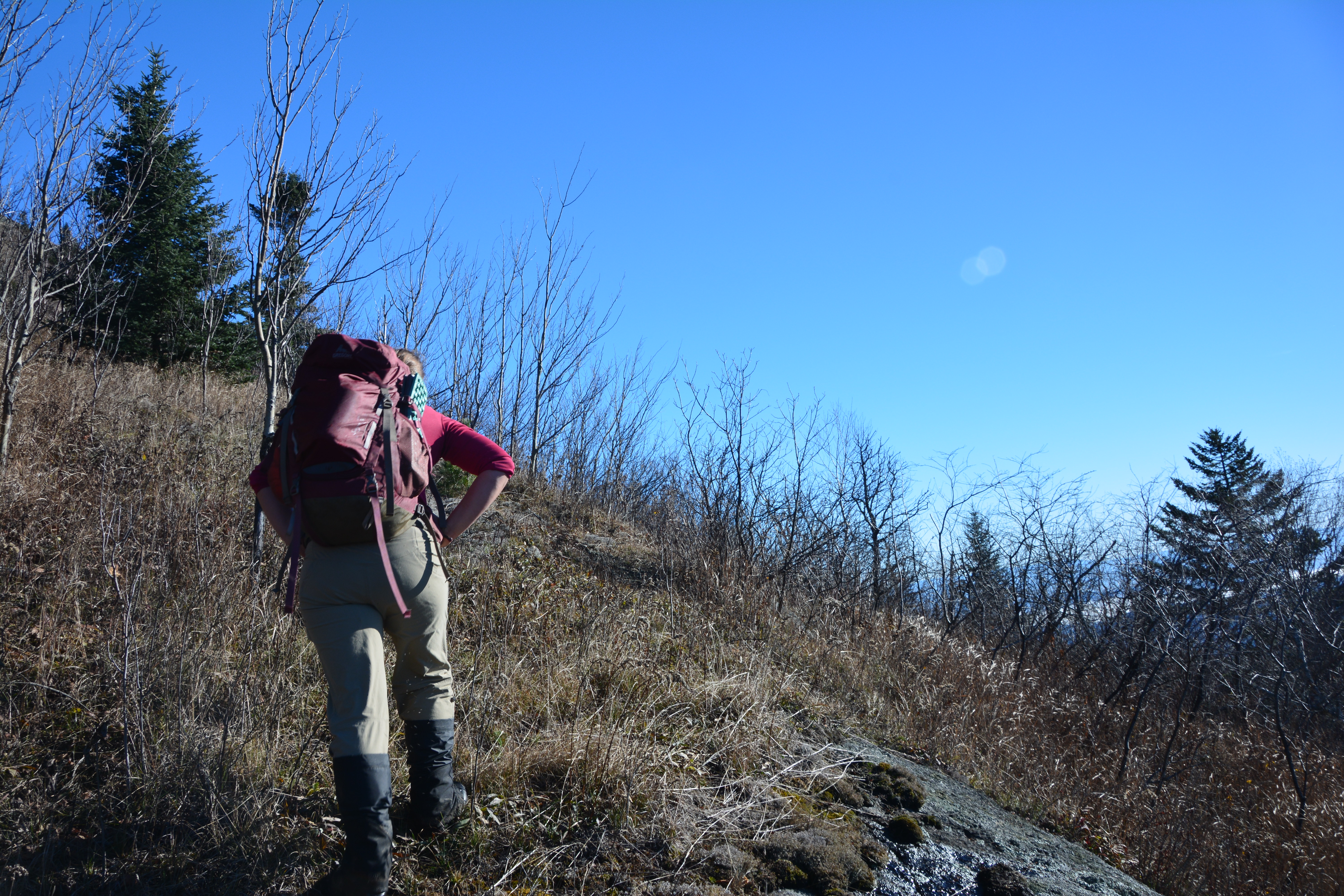
This Saddleback might not be as popular as the one that hundreds climb in the High Peaks Wilderness, but it should be. Its position in the Jay Range located between the High Peaks of New York and Vermont, it offers a view of a lifetime. Sure, there may not be a trail to its summit but its ease off access from the Jay Mountain Road leaves it achievable for so many.
This hike up Saddleback would be my fourth adventure, but Corenne’s first time, it was hard for me not to give away the secret of its offerings. As one of the Adirondack’s 100-highest peaks it rests at a modest 3615’ feet in elevation, not all that far off the 4000’ mark. Saddleback gets its name from the profile it provides from certain locations, that of a saddle.
Of course, it was election day, and thankfully for our recreational endeavor the polls opened at 6:00am; we were the first to be at the door, no lines and no waiting. Once that was finished we were on our way to Jay. The drive took a bit longer than I remember it, or maybe it was just the gunk in my eyes telling me it was very early, either way, I couldn’t get there fast enough. As we drove up Jay Mountain Road, the profile of Saddleback drew my eyes fondly to its steep slopes. Arriving atop the hill near the state land boundary we parked in the location almost purposely made for this peak and big enough for two vehicles.
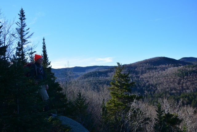
I remember this peak having open slopes and in some cases, dense new growth brush, but others have told me fighting off dense evergreen growth, we would see whose story tells the tale. From the road, it has the appearance of a dense balsam thicket and sections of cordwood logs laid out in a fashion close to that of a game of pickup-sticks. We jumped in head first and swam through the trees in a breast stroke fashion trying to find the end to it all, and it wasn’t all that far from the roadside that it opened up before us in a mostly hardwood grove.
Advancing on we came to the base of a small cliff that we skirted to the left and then climbed even steeper to the shoulder of Frenyea Mountain, just W of the smaller summit knob. The cliffs here are a fun climb with a narrow cleft in the chin, we scrambled up the steep slopes. Slipping a couple inches with every step and using the trees as a support group to clamber up. I cannot speak enough about the views, they are fantastic, but only a small taste of what was yet to come.
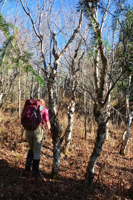
With Corenne in the lead we descended through the now impressively open forest, side-hilling a bit we made our way to the land-bridge between the two peaks. If was a bit soggy in the col, but nothing extraordinary, we wallowed through. The climb now steadied itself to more of consistent grade but still aggressive. We avoided the dense evergreen growth on the top of the ridge but staying west slightly in the white birch stand.
As we passed over a smaller summit of the ridge we got our first views of the peak and as suspected, Corenne was impressed and surprised that I didn’t tell her about its beauty, but rather saved it for a surprise gift.
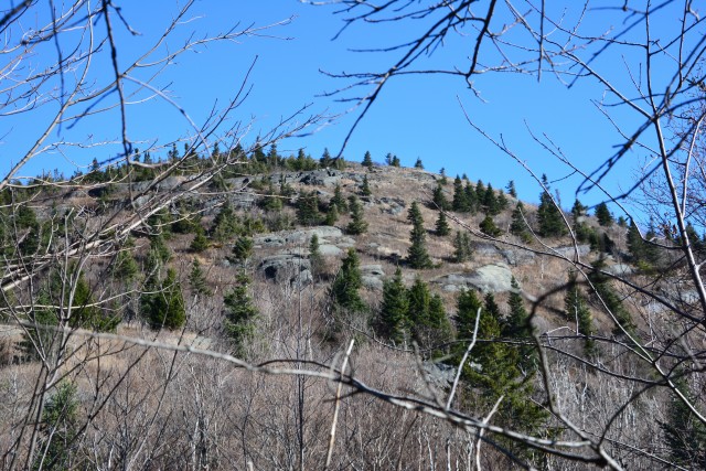
We shrank within ourselves beneath its mass and continued the pursuit of the summit. The slopes became even more open and the closer we got to the upper ridge the more open it became before it eventually turned into the likeness of a grassy field. Within the grass were small shrubs, meadow rue, goldenrod and numerous rocky outcroppings. The views continued to get better and better with every step until we reached the top of the lower knob on the saddle.
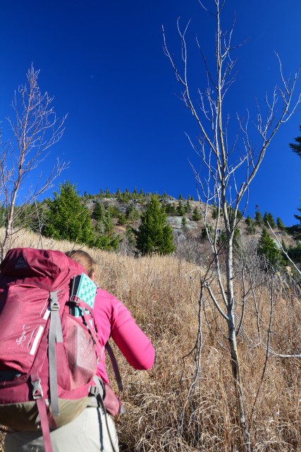
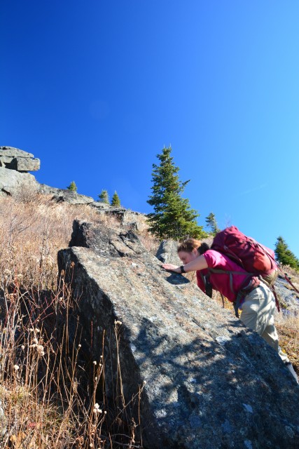
The true summit lied only few hundred feet away, but first we would push ourselves through the dense and strong jointed firs along the ridge. We dropped a bit to gain another view to the east before crossing a small draw and climbing the remaining 30 feet of elevation to the true summit. Wooded with a small cairn is what the small summit offered us, but we knew heading back down we could stop for lunch atop one of the rock outcropping for a seat like no other.
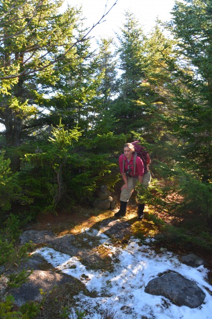
An extended and relaxing lunch reenergized us for the descent which we knew would be fast, we knew where to go and what to avoid it was only a matter of going through the motions. The 1.5-hour climb was reduced to a 1-hour descent back to the car. This is by far the best route I have found to date for Saddleback, and the one I will use in the future, hands down. If you are comfortable between the contours lines on lands with no trails and use of a GPS or map and compass I highly recommend this trip. Or if you want to be guided onto this beauty, contact a local guide service and I am sure they would be happy to help.
