Family outings
A Selection of 1-2 hour hikes in the Whiteface Region
Stag Brook Falls
How to get to Stag Brook Falls: From the intersection of Route 73 and Route 86 in Lake Placid, follow Route 86 toward Wilmington. Continue for 9.2 miles to the Whiteface Mountain Ski Center. Turn into the center and park in the lot on the right.
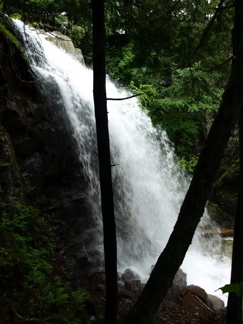
This is an outstanding destination hidden by the popularity of the Whiteface Mountain Ski Resort. What few people don’t realize is hidden along a very seldom visited trail lies a most pristine waterfall and continuous cascading of Stag Brook.
Cross the bridge and pass by the main building on your left and another building straight ahead. Walk to the left of the secondary building and up the gravel road. The trail is at the top of the gravel road, a marker on a power pole marks the location.
This hike will start on an uphill and continue to climb to its end at the grassy ski slopes. The largest of the falls is not too far along the trail and can be enjoyed from the base or from a bit higher as you continue along the trail. The trail continues along the left of the brook as it makes it way higher where several smaller cascades pass you by.
Silver Lake Mountain
How to get to Silver Lake Mountain: Start at the four-corner intersection in the village of Wilmington and then drive north onto Bonnieview Road. Follow this to its end at Silver Lake Road. Take a left onto Silver Lake Road and continue for just under 6-miles to the trailhead on the right.
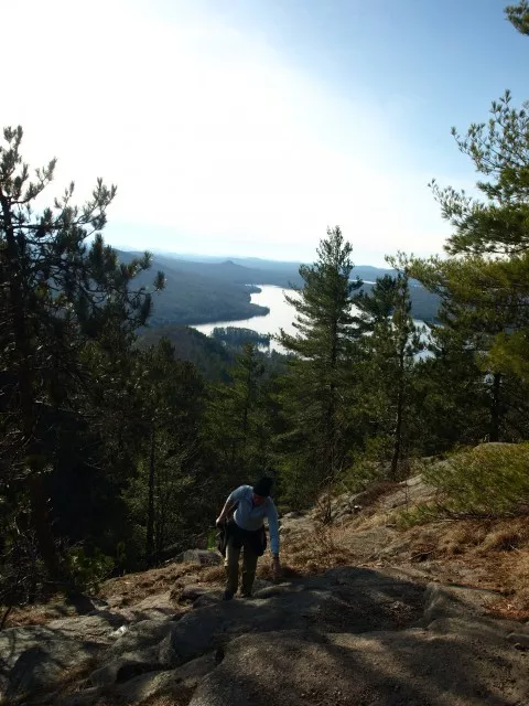
This slightly taller peak in the Silver Lake Region will get you high above Taylor Pond as well as Silver Lake. You will overlook the foothills of the Whiteface Region as you sit back and listen to the screech of a nearby red-winged hawk.
From the trailhead parking area you will start hiking along an old woods road littered with loose rocks. The terrain starts to get steeper and comes to a slight lookout through the trees.
Just prior to the summit you can scramble a section of bedrock that to some maybe too steep. A path leads around them to the left if so desired. Continuous views will then be afforded as you make the final ascent to the summit.
Copperas Pond
How to get to Copperas Pond: From the four-corner intersection in Wilmington, drive along Route 86 toward Lake Placid. Continue for just a hair over 6-miles to the trailhead on your left, parking is located on the right of Route 86.
This popular hike, fishing, camping area, and local swim hole can get you high above Route 86 in a hurry and enjoy a lovely afternoon as a family recreating in all sorts of different ways.
From the road be prepared for a steep climb along a rock trail. This steep section only lasts a bit before you make a right onto a secondary trail that leads you over gentle rolling hills and down to Copperas Pond. Once at the Shore of Copperas Pond the a trail leads left past the pond and to Owen Pond and right leads to the lean-to and the popular location for a picnic, camping, and a quick dip to cool off.
Pokomoonshine Mountain
How to get to Pokomoonshine Mountain: From the four-corner intersection in Wilmington follow Route 86 toward Jay. In Jay take a left onto Route 9N and follow this into Keeseville. In Keeseville follow Route 9 south toward Elizabethtown and continue past the on ramp for exit 33 of I-87. Continue on Route 9 past the ramp for 3.1 miles to the trailhead on the right.
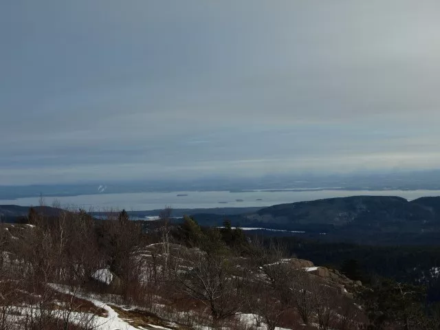
Long name I know, but the trail is quite short. Just over 1-mile to the summit of a premier Adirondack Fire Tower peak. A bit further from Wilmington that the previous locations it will also offer you a very scenic drive through the Ausable River Valley.
You will start climbing immediately through a hardwood forest and at times quite steep. You will come face to face with a large rock face where the trail veers left. After another steep section you will come to an outstanding view (caution should be used here). The grade continues to climb and quite abruptly in areas as it plateaus at the site of the old observer’s cabin (now rubble) and a lean-to, slightly down a side trail. The trail now moves through the woods on a moderate slope as it sweeps around the crown of the peak and then to the fire-tower. On a crystal clear day the views of the Lake Champlain Valley and Vermont are superb.
For more information
For more in depth trail information we recommend you pick up a guide book and map at a local gear shop or bookstore. Want a guided trip into the region; there are many guide services in the Whiteface Region that would be happy to show you some absolutely amazing places. Tired after a day in the woods, our local establishments are some of the best in the Adirondacks, check us out.


