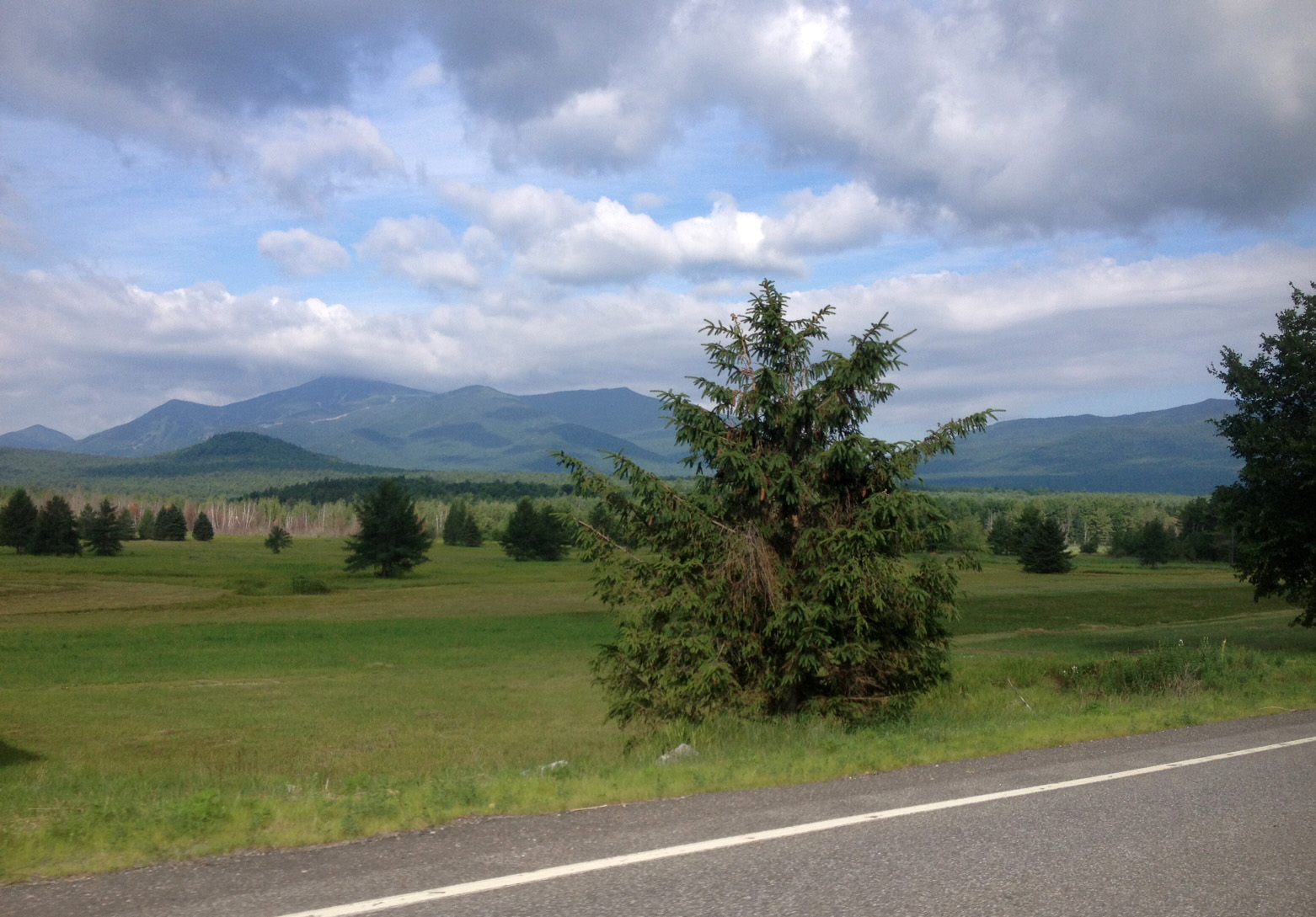
Ride for a Cause
So, I rode the Ausable River Association’s (AsRA) Ride for the River bike ride last year, and I plan to do it again THIS year on August 3rd.
The Ride for the River was launched in 2012 to celebrate the cultural and natural resources within the Ausable Valley, and continues to support the work that the AsRA is doing to build resilience in both the natural and human communities in the Ausable River watershed.
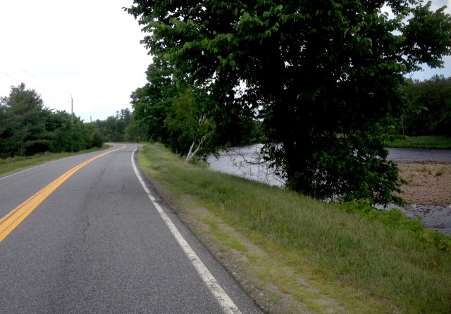
These roads are made for cycling
There is no such thing as a bad cycling route in the Whiteface Region. In fact, LAST year during the Ride for the River, I accidentally completed a different, much longer route than I had originally planned to ride - and enjoyed it, despite my only-ready-for-30-miles burning leg muscles.
Even so, I thought that I might benefit from a reconnaissance tour as part of my “training” for the 2014 event.
This year’s ride will begin and end at the Hungry Trout in Wilmington. There are 3 identified routes, all designed by Leepoff Cycles, (which incidentally and importantly has a brand new shop in Wilmington that opened just this summer)!
As it has each year, the ride includes a shorter, family-friendly loop of about 10 miles called the “Wilmington Loop”, which covers two of the very nicest stretches for biking in the entire universe: Haselton and Hardy Roads.
The longer, “Ausable Eddy” route is a ride of about 45 miles. It follows Haselton Road into Black Brook, with a loop to Taylor Pond, into Ausable Forks, to Jay and back along 86 and then the Hardy Road on the way back to the Hungry Trout via Springfield and Fox Farm Roads. This will be a great ride for people who enjoy riding their bikes on awesome, first-rate roads.
I plan to ride the middle-distance loop of about 30 miles, which, in Goldilocks terms seems “just right” for me. The “Two Branches” route is a shortened version of “Ausable Eddy” that skips the Taylor Pond portion, shortening it by about 15 miles.
Recon exercise
For this reconnaissance exercise, I decided to test ride the route on my motorcycle, which is, of course, the opposite of exercise.
I began at the Hungry Trout and headed into Wilmington via Fox Farm Road and Springfield Road onto Haselton Road. Haselton is a route that deserves all of the gold stars I’ve awarded it. This gem meanders along the river and merges with the Black Brook Road to Black Brook itself.
From Black Brook to Ausable Forks there’s a good “screamer” of a downhill, which reminds me that any loop has an equal amount of elevation gain and loss, since you start and end at the same place. That means there is some UP at some point to even things out. I kept my eyes open for the climbs. (Insider tip: there is what I consider a tricky navigation point here to get back onto 9N toward Jay; take the right onto Main Street as you enter town. I’ve gone by that intersection a few times and had to double back.)
From Ausable Forks to Jay is primarily a riverside ramble with ample shoulders on the road and a couple of steep, short climbs closer to Ausable Forks. Once you arrive in Jay, the route takes a right onto 86 toward Wilmington.
And there I found the next anticipated UP.
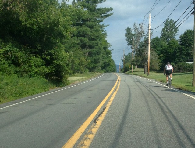
Last year, the ride began and ended in Jay, so the finish was a downhill ride back to the Jay Green from Wilmington. It was fairly easy on my motorized two-wheeler, but this climb feels like a long one. At the end of it, the views open up, one can see Whiteface Mountain in the distance across open fields as you enter the Town of Wilmington officially.
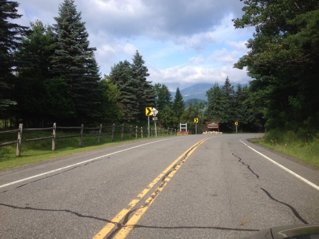
From there, riders will take a left onto the well-marked (on this end) Hardy Road. This recon trip represents my very first time on that road - I had never noticed the sign before. I’m very familiar with its name, as there is a group of mountain bike trails that bear the Hardy name and begin at the trailhead located not far from the northern end of the road. And now I’m also familiar with Hardy Road as an ideal destination for two-wheeled vehicles of any sort; those with knobby, road OR motorcycle tires.
The road is more than two miles in length, and I realized at the end where it meets Springfield Road, just why I had never noticed the sign before. (It seems to be a bit of a work in progress at this time!) 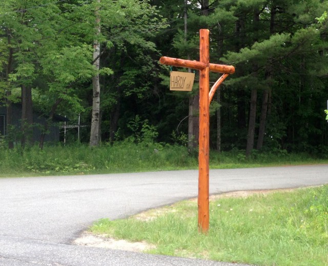
At the end of Hardy Road, riders take a right onto Springfield, shorty thereafter a left back onto Fox Farm Road toward Whiteface Mountain that goes by the Whiteface KOA campground and ends near the Hungry Trout.
On the event day, those who don’t want to cycle can join in for the picnic, live music and raffle following the Ride. (The raffle winner will win a Hornbeck canoe and a guided fly fishing trip from Hungry Trout Fly Fishing!)
CONCLUSIONS
My investigation was successful. This is a ride that for a portion is the reverse of last year’s route, which will make it a bit better, in my humble opinion. It also covers some of the memorably spectacular terrain from last year; Haselton Road being a particular standout for me.
The Ride for the River is a great opportunity to celebrate and support the Ausable River Association, but let’s face it; it’s also a great excuse to participate in a fun group ride on some of the most outstanding road biking terrain in the Adirondacks.
Now I’ve got just a couple of weeks to get ready to tackle it without a motor.
Kim Rielly is the director of communications for the Regional Office of Sustainable Tourism, and a rider of three types of two-wheeled vehicles.
