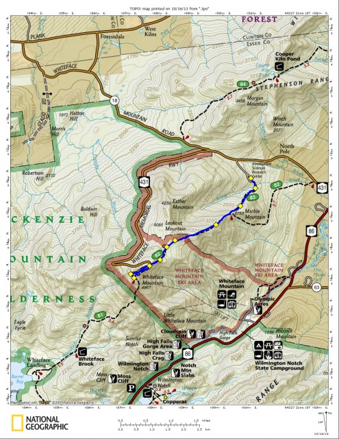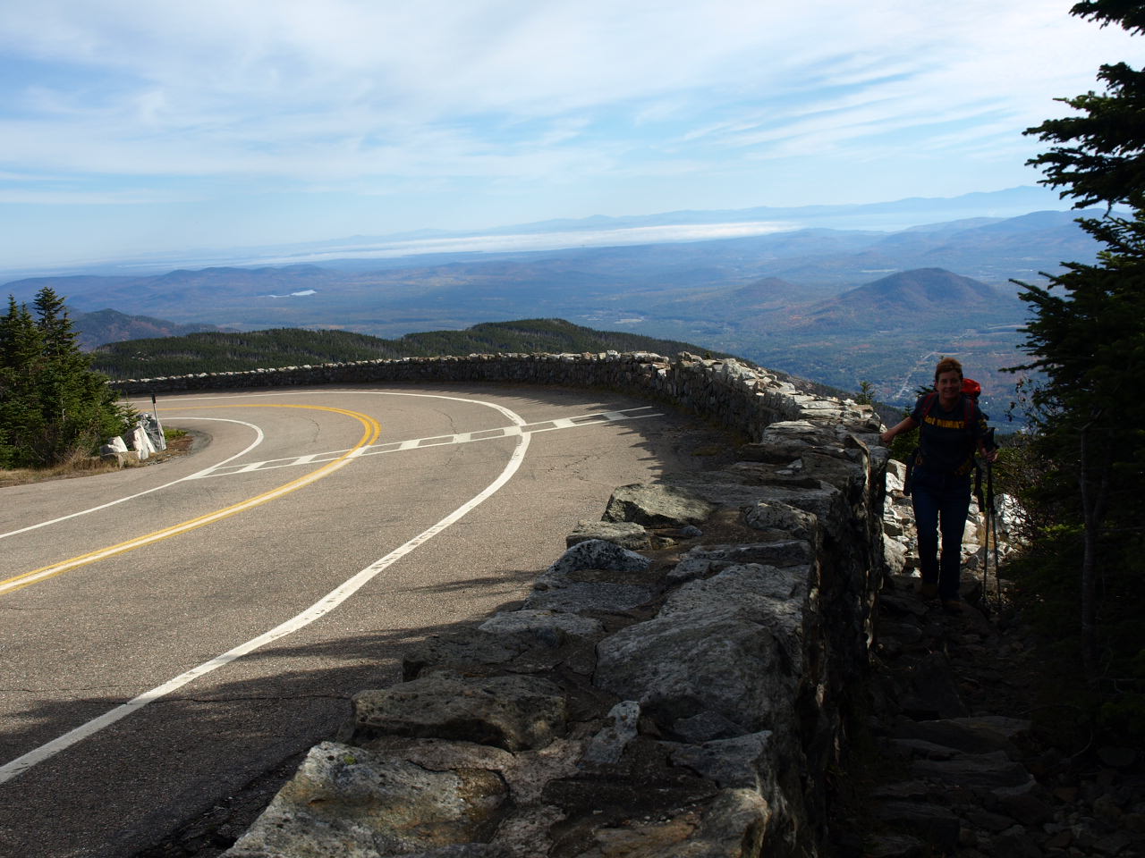
This guided outing had been planned for a few weeks and luckily for us the weather turned out to be very good. Planning a guided trip so far in advance is tough, mainly because the weather is so unpredictable.
After a bit of discussion we decided to take the shorter, steeper approach to the summit and leave from the Atmospheric Research Center. The lady I would be hiking with on this day had visited Whiteface Mountain quite some time ago when she was at camp on Lake Placid and wanted to jog some old memories.
After our short decent to the bottom of the old ski lift area on Marble Mountain we started our long, steady, steep ascent of Marble Mountain. The trail actually follows the old tow-line of the retired ski hill, so you can imagine how abrupt it is. The terrain not only steep under our legs but very rock strewn. The problem wasn’t so much the rocks but the leaves that buried the rocks and the constant rolling of those too loose to support our weight. In roughly 45-minutes we stood atop Marble Mountain overlooking Wilmington and Wilmington Notch.
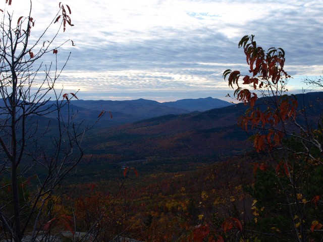
We didn’t waste much time here before we moved on at a moderate pace climbing up the shoulder of Lookout Mountain. The grade still quite steep slowed the speed down a bit but we kept plugging away as we worked our way up to the Esther Mountain herd-path junction. This junction is what I consider the relief point. The grade from here is much less aggressive, aside from a couple smaller sections. Next we passed over the two ski trails of the Whiteface Ski Center and rapidly found ourselves standing at the base of the Whiteface Memorial Highway. The towering rock wall, that the road was built on, loomed above us, almost tempting us to scramble up it – we didn’t.
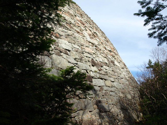
Still to this point we had not seen a soul, until a couple cars drove past, looking at us like we were a bit out of our mind for walking up. Their eyes said “Don’t you know there’s a road up here?” We pushed on up the ridge and immediately got some fantastic views of the remaining colors that surrounded us. Not a bit of wind, but a slight warm breeze was all that touched our faces. We summited to a couple that had taken the elevator congratulating us on our accomplishment. Then a group of young ladies approached us, that were equally surprised and overwhelmed by the idea that it took three hours to summit and we had to walk back down, oh the madness of it all!!
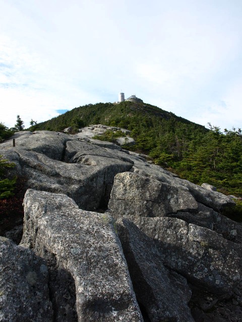
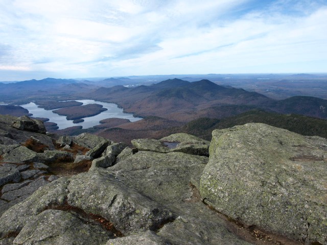
After a few summit shots and a tour of the tower we were on our way down to the restaurant and gift shop. It was a slow day in the shops, but we were not hungry enough for any food and a beer at this point would have gone right to our heads. We decided to hike the toll road back down to the foot trail rather than head back up to the summit. As we hit the trail a group of three was heading up the trail, famished. They asked “Are the shops open, do they sell water?” They were out and by the looks, for a while. Each had an 8-ounce bottle, empty, crushed into their pockets. Only one had a backpack, the other a camera and the other a messenger bag, with who knows what in it.
We passed a few other groups on the way down, most of which in better shape than the first, expect the last. A father and son of about 10 years old just above Marble Mountain. They were not moving at the pace I would consider safe to be ascending, but they kept going anyhow. I would doubt they made it out before sundown and even with headlamps or in the daytime the trail is not easy to descend. We were out for a round-trip of 7.25 hours.
Whiteface Mountain is one of the best hikes in the region offering outstanding views. If you are interesting in hiking the peak, rather than drive it, stop into a local bookshop or gear store and pick up a local trail guide. Don’t want to do it yourself, seek out a local guide for assistance.
