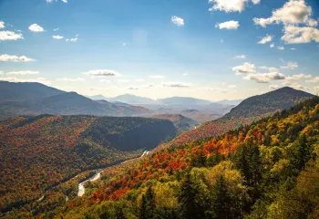
I love paddling in the fall of the year with the cool air and crisp nip that the early mornings so often bring. The changing colors of the leaves are also a fantastic addition to the soft sounds of the water splashing the hull of the boat.
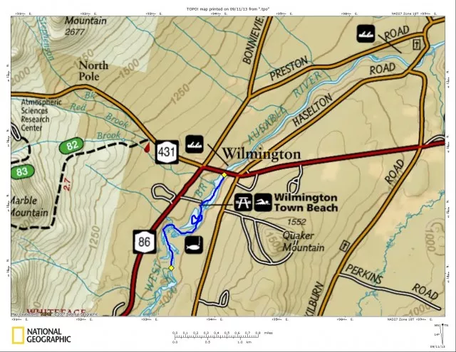
This stretch of the Ausable has some interesting features and is loaded with birding and wildlife opportunities. Along this roughly 1.5 mile stretch of the Ausable are several areas to take shore and relax, have a picnic or go swimming.
At the bridge spanning the Ausable River, located off Route 86 in the Village of Wilmington, you will see a small park where fisherman parking is popular – this is located on the NW side of Route 86. This is also an excellent spot to launch a canoe or kayak. An obvious route brings you under the bridge; heading in the opposite direction is the dam. You will initially be heading upstream, but the current is very mellow with no fighting force.
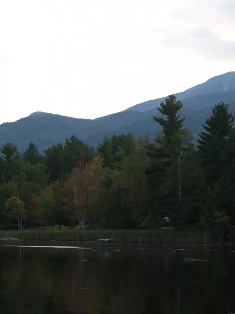
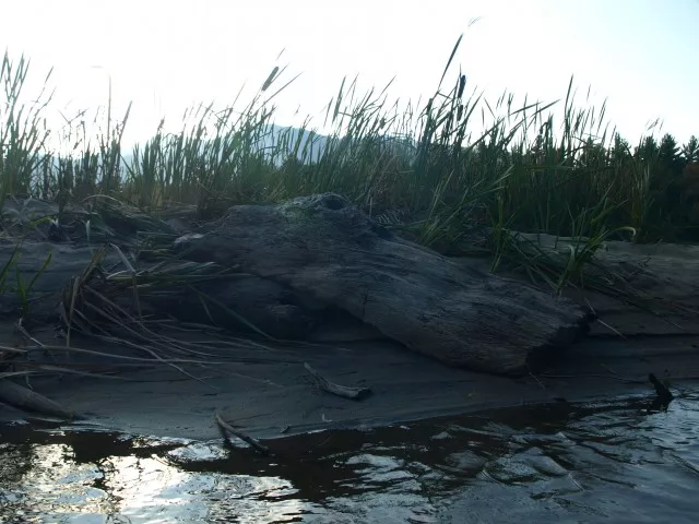
Not far up from the bridge as you pass along a grassy shore area you come to an excellent spot for a dip. This is also the public beach for Wilmington and what is referred to as Lake Everest. Just past this is a widening of the river on the right with very shallow water. But this is an excellent spot to do a bit of bird collecting. The shallows bring in wide variety of fish-loving birds like the great blue heron and the osprey. That brings me to a tidbit of information. Along to your left keep an eye out for an osprey nest, high in a white pine tree, you could catch a glimpse.
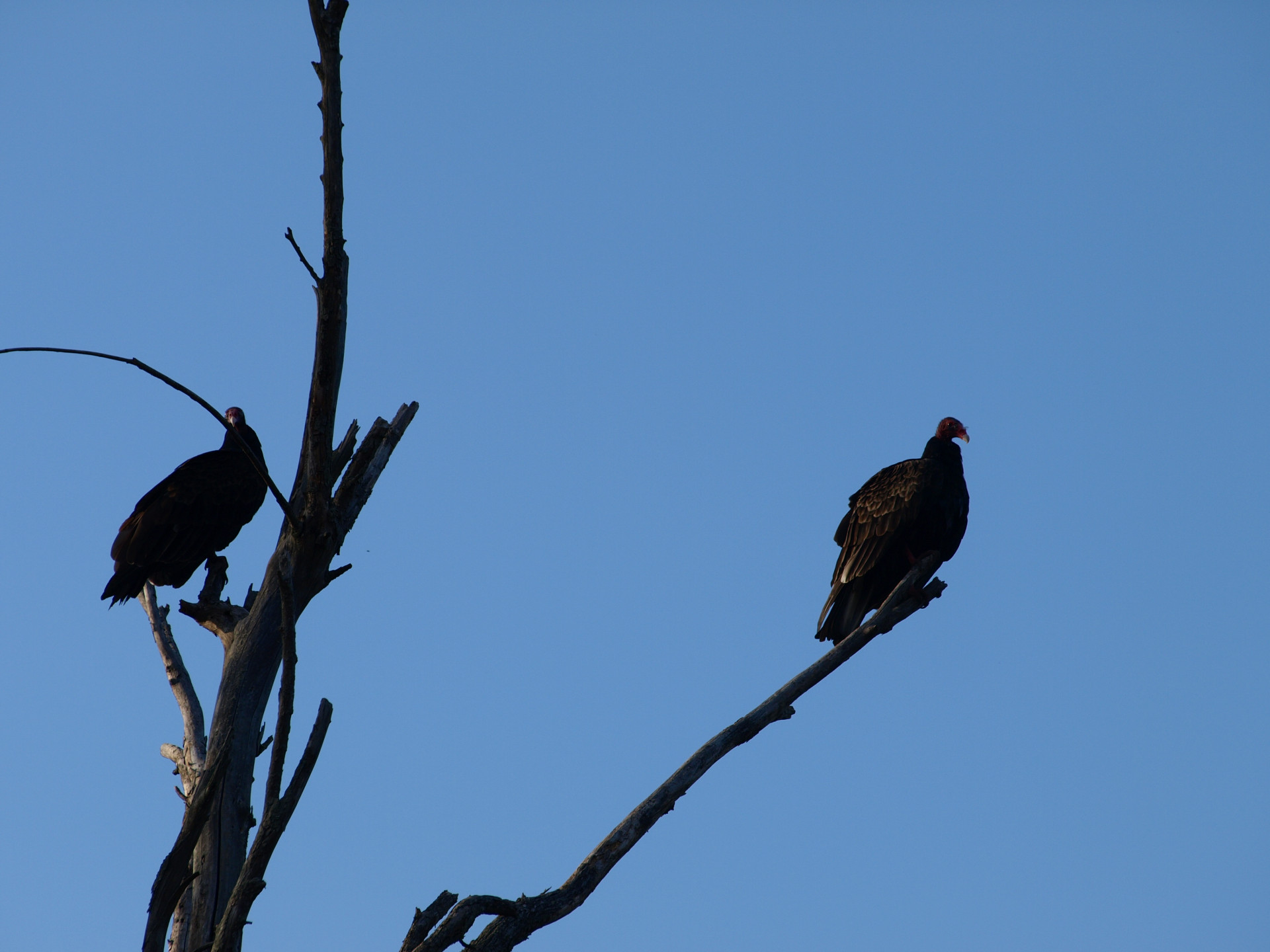
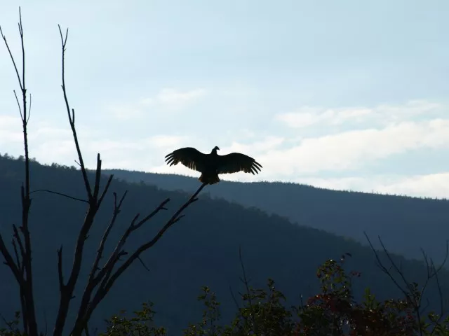
You will have to leave the widening of the river to get back into the main flow and continue upstream. Along through this area, I remember a flock of turkey vultures feeding off something in the area. Still I am unsure of their main course but they sure were busy flying about and whipping up quite a commotion.
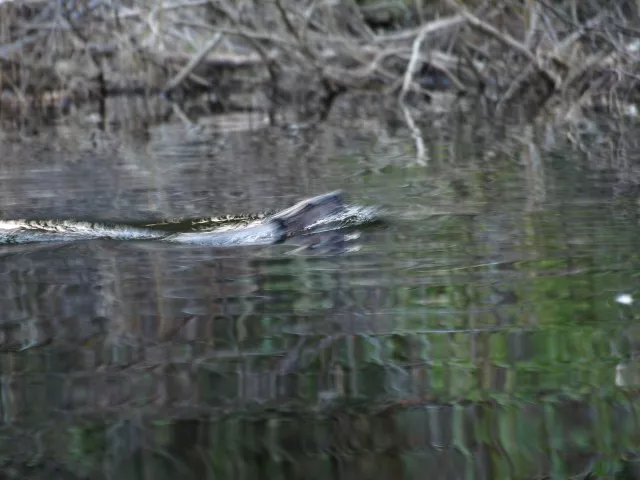
The further you make it up stream the more the river narrows. There is a very sharp bend in the river about 1-mile or so from the bridge, where a steep sandy bank is slowing making its way to the water. This area is almost surely to give wildlife. Twice now I have seen an otter in these deep oxbows. This otter is full of life and loves nothing more than to tease a boater with a camera. You get one obscured picture after another as he pops up 20 feet from you one second and the next 200 feet, then behind you. Then you paddle in a 360 degree turn to find him behind you again back where he was before. It’s a fun little game and we like to amuse each other.
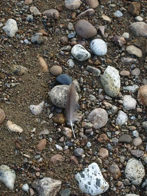
At about 1.5 miles from the bridge the going gets a bit tougher, with a much narrower and shallow course and a couple hidden rocks to dodge. Eventually you will have to stop as the river gets too shallow and the current too strong to paddle upstream any further. However, at this point there is a nice little island with a gravel shore, which makes for a great picnic spot.
At this point you have two options. One would be to paddle back to your car and call it a short but fun day – or – you can continue upstream without your boat and locate the bottom of the flume, which is roughly a half mile further. No real path will get you there unless you cross the river at some point. On the opposite side of the river a path with bring you around and along the river up to the flume.
Interested in more of what the Whiteface/Wilmington Region had to offer? Stop by a bookshop and pick up a local paddling or hiking guide. Need a place to stay, see what Wilmington has to offer for camping, lodging and dining experiences.
