I’ll admit that I’m not good with numbers, but this is the story of how 25 + 50 actually equals 86.
When I saw that the Ausable River Association (ASRA) was hosting its second annual Ride for the River fundraising bike ride, I saw it as a great opportunity to explore some new cycling roads in the Whiteface Region and help the ASRA at the same time.
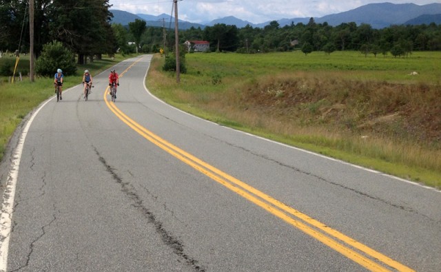
The ride was organized into three approximate distances: 50, 25 and 10 mile loops. I figured that since I haven’t been riding long routes recently, that I’d jump on the 25 mile loop and arrive back at the start by the time my husband, Kevin, finished the 50 mile loop.
It didn’t exactly work out that way.
Kevin and I arrived by 8 a.m. on a gorgeous Adirondack summer day to be sure to have time to register, and so that he’d be ready to leave at 8:30 on the 50 mile loop. The 25 mile loop was to begin at 9:30, and the 10 miler even later so that everyone finished at around the same time for the lunch that would be served in conjunction with the event.
While standing in line to register, I ran into a couple of friends who said they were going to do the 25 miler too, and that they were going to start that route at 8:30 so that they could get a jump on the day. I decided to tag along with them. I could wait around for Kevin to finish his 50.
And so we took off, the four of us, with the directions for the 50 mile loop in hand. (Yes, that means we had the wrong directions.)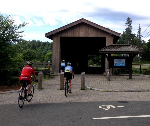
The route began appropriately with a traverse across the Ausable River via the Jay Covered Bridge - which is not accessible to cars. We then followed North Jay Road for a few miles before two of our four had some technical difficulties and decided to cut their 25 mile ride even shorter and turned back. For some reason, with the perfect weather and the rest of the day ahead, the remaining two of us, a patient former Ironman competitor named Red, and I, decided to extend our trip and do the 50 mile route.
It seemed like a good idea at the time, because some of the folks we were pedaling with at that moment told us that it wasn’t really 50 miles, but a mere 45 miles to complete that loop. So, we followed them around the couple of turns to go around the aptly named Haystack Mountain and then lost sight of that group as we descended a SCREAMER of a downhill on Grove Road into AuSable Forks.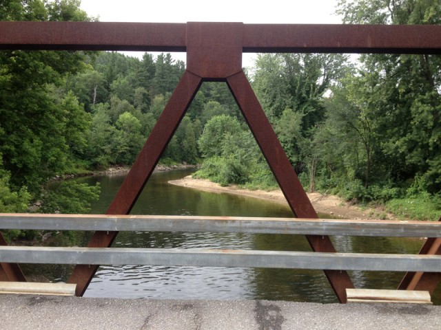
We crossed both the East and West branches of the Ausable River in “The Forks” and another group that included Mark, the guy who mapped these loops, came up behind us. They suggested that we stop at Stewart’s with them and make sure we had enough fuel (food and water) to make it up the big climbs ahead.
The fact that they thought we needed to obtain additional fuel didn’t seem a bit crazy to me at the time. And so I borrowed two dollars from Red and bought an energy bar to go with the one I’d brought. As we mounted our bikes again, Red and I realized that we were the two of our original four who did not have the directions with us. So we followed Mark and his cohorts up, up, UP into the hills of Black Brook along a combination of back roads. We lost most of their group on the next downhill. Only two of Mark’s group were visible to us, and as luck would have it; they did have the directions with them. We decided to make sure we kept up with them for the remainder of the ride.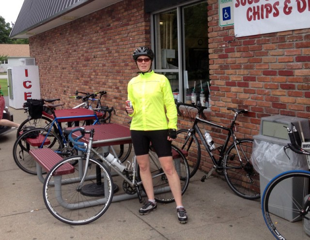
I should mention that all of these logistics are interesting to me now, but while riding I was quite immersed in, and awed by the gorgeous landscape that surrounded us on largely quiet roads. The big climb into Black Brook was steep, but we spun our way up slowly and steadily. One of the short roads was named Swastika Road, and we quickly traversed its length wondering why in the world it had that name. Some of the back roads showcased inspiring views of the Silver Lake cliffs, which is a popular new rock climbing area.
We coasted FAST down into Black Brook on Silver Lake Road, then would have missed the turn to WIlmington if the two guys with the directions hadn’t stopped and waited (and whistled) for us to join them. The four of us then headed to Wilmington on Haselton Road along the West Branch of the Ausable. What a spectacular, rolling road that is! Haselton Road intersects with Route 86, and the directions said that there were now two options: one could simply take a left and go 4 miles to return to the starting point in Jay, or continue the other direction to complete the original 50 miler that was actually a 45 miler. We opted to turn left, as I was positive that Kevin was now wondering why it was taking me so long to ride 25 miles, and as my legs had started to protest about 5 miles before this.
We had a little bit of climbing left before rolling downhill back to the Jay Village Green. As expected, Kevin was waiting patiently at our car, all changed and packed up; he’d been there for at least an hour, having completed the full loop, which his friend’s bike computer logged at 46 miles.
Thanks to the Ausable River Association for hosting this event, and for introducing me to this gem of a loop. I live on the Adirondack Coast of Lake Champlain, where the cycling is also spectacular, but I certainly understand how this region has come to be known as the Biking Capital of the Adirondacks.
And that, my friends, is how 25 (actually 40) + 50 (actually 46) = 86 (and an outstanding bike ride!)
-Kim Rielly is the director of communications for the Regional Office of Sustainable Tourism
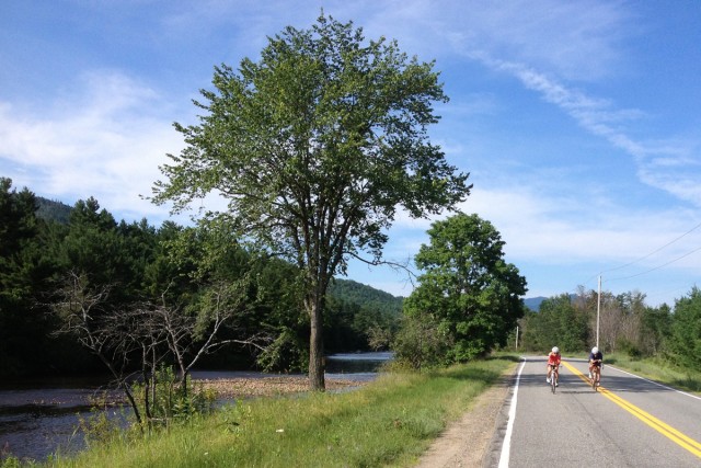
AsRA is a community supported organization that works cooperatively with landowners, municipalities, and government agencies to preserve the wild, scenic, and recreational resources of the Ausable Watershed.
AusableRiver.org
