It’s just one of those things, I needed to get out and I took a chance on a small patch of blue sky which just so happened to be hovering over the area I was near, so I made a last minute decision to head up Flume Knob.
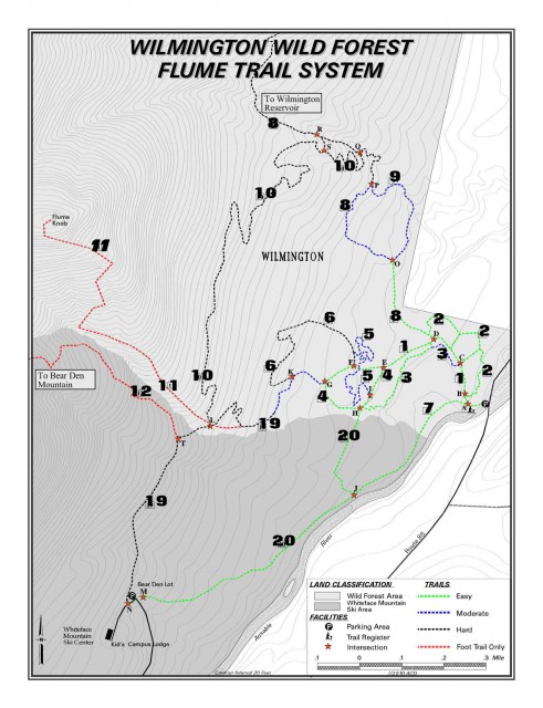
Flume Knob is not a recent development but you won’t find specifically labeled on any maps that I am aware of. The trail does show up on the National Geographic map but it is not labeled. The map at the bottom of this page is a general location of the trail, but it must be understood that many trails encompass this area as you passes through a mountain biking Flume Trails network. It can be quite easy to make an incorrect turn.
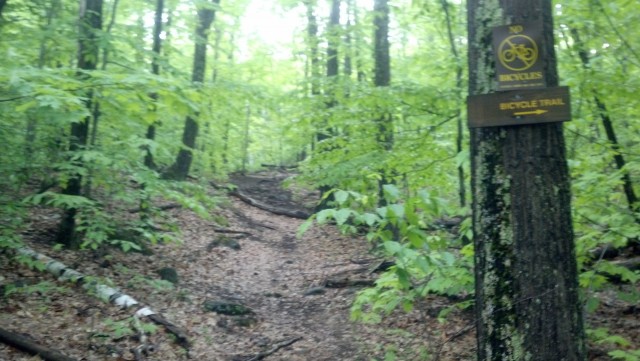
My hike started out rather dry as I passed along a slightly soggy trail that penetrated the corridor of the trail network. The further I got in the wetter it started to get and a bit of standing water was covering the trail. The stepping stones and roots that have been uncovered or used to maintain the trail had become very slippery and a bit of care was needed to not make a wrong move.
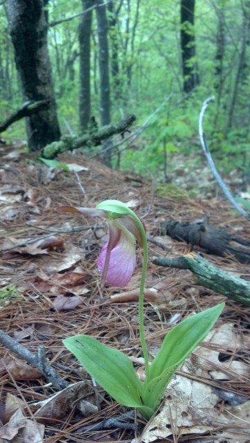
Once I got off the biking trails and onto the foot traffic only trail, the conditions spruced up a bit, but they seemed to be a bit washed out in areas out, due to heavy rains and the layout of the trail being on the natural fall line.
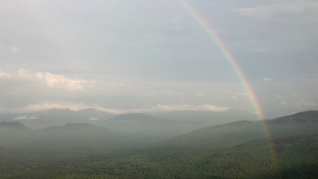
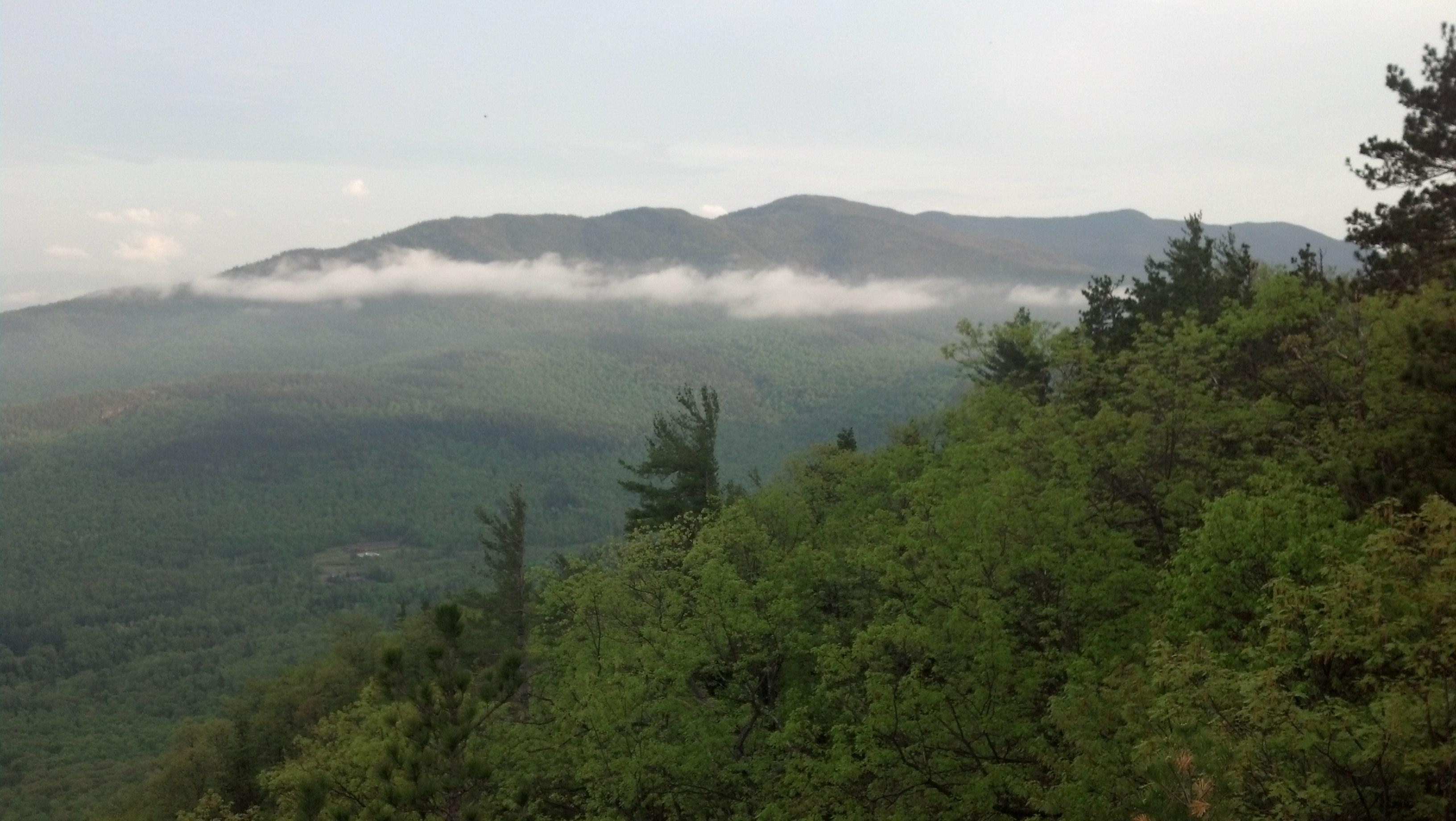
I visit this peak usually every year because it’s a perfect hike for a short day or even an aggressive trail. But each year I forget just how steep this little peak is in spots. The attractive open forest and tall pines does take my mind off it a bit though. After taking in each opportunity for a view and getting very little because of the humidity in the air, I finally got to the small rock scramble where someone had tied a rope for aid, which I trusted and it held. Then I turned around to look behind me and there it was, a huge rainbow over Wilmington from the four corners to the Hungry Trout, I raced the remain distance to the top so I could get the perfect picture and I was rewarded with the opportunity of watching it fade slowly into history. The hike down wasn’t quite as dramatic as the summit, but was a bit slower due to the slippery conditions.
